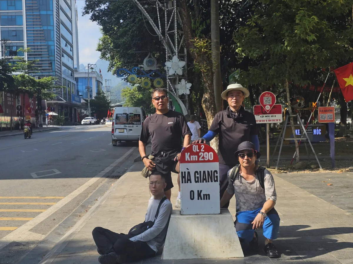


Ha Giang Loop is one of the most spectacular pass routes in Vietnam, attracting not only backpackers but also international tourists seeking adventure and exploration. With rugged passes, where nature has bestowed the beautiful but challenging scenery, understanding the Ha Giang Loop map will help visitors navigate more accurately and safely. In this article, ZingHome Ha Giang will provide you with details about the Ha Giang Loop map, the main routes, and useful tips for you to enjoy the best trip.
1. Why do you need a Ha Giang Loop map?
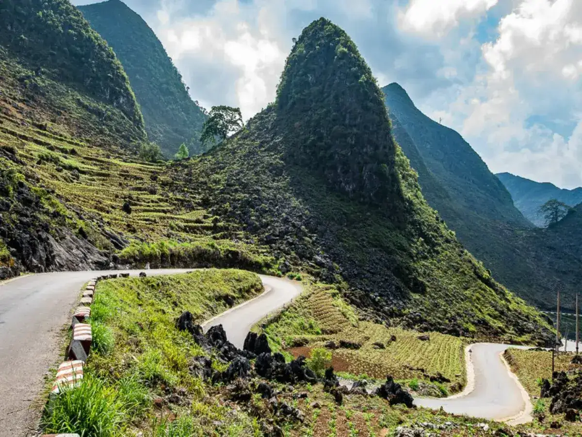
Ha Giang Loop is famous for its steep, winding roads and many dangerous roads.
Having a Ha Giang Loop map on your journey not only helps you orient but also creates a premise for memorable experiences. The map gives you an overview of the journey, from prominent places to places with little known, helping you to explore every corner of this land.
Help navigate easily through dangerous passes
Ha Giang is famous for the winding passes, many of which pose challenges for both experienced and inexperienced drivers. To overcome these roads safely, the use of the Ha Giang Loop map is extremely important. With harsh bends and high slopes, the driver needs to pay attention to observing and adjusting the speed properly. Here are some benefits of using the map:
- Accurate positioning: The map makes it easy to determine the current location and move.
- Avoid dangerous road sections: Thanks to detailed information about the road sections, you can avoid areas with complex terrain or high risk of accidents.
- Information services: Some modern maps can also display information about the weather and traffic situation, helping you adjust the roadmap appropriately.
These mountainous roads are not only attractive but also contain many surprises. You will go through beautiful villages, where the culture and life of ethnic minorities blend to create a unique landscape.
Avoid getting lost, saving time
Getting lost in Ha Giang not only takes up your time but also reduces the experience of the trip. Many tourists have had difficulty finding their way back after being lost in complicated turns. A Ha Giang Loop map will help you avoid this situation effectively.
Plan details of stops, rest, and eating
A Ha Giang Loop map is not only a tool to orient, but also helps you plan for stops, rest, and enjoy unique cuisine here. Noting the appropriate stops before departure will help you easily decide where the great place is for you to stop and recharge. The planning for the stops will give you a more comfortable and complete experience during the journey to explore Ha Giang.
Off-the-beaten-path destinations
The Ha Giang area not only has famous attractions but also many beautiful places with little known, waiting for you to explore. With a detailed Ha Giang Loop map, you can find remote villages, natural beauty that has not been exploited much, and interesting attractions that few tourists know.
2. Main routes on the Ha Giang Loop map
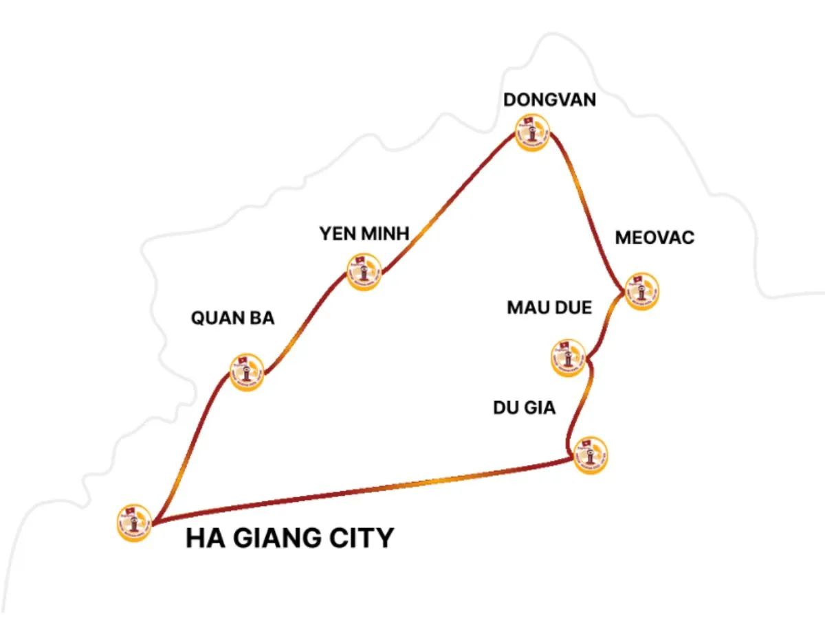
Ha Giang Loop lasts about 350 km
Ha Giang Loop is a challenging and interesting journey, about 350 km long. Each line on the Ha Giang Loop brings the unique natural scenery and unique challenges that you need to prepare to overcome. Here is a detailed description of the main roads on Ha Giang Loop, with distance, characteristics, and challenges you will encounter when moving.
Ha Giang – Quan Ba
Distance: 57 km
Road characteristics: From Ha Giang city, you will start the journey through Quan Ba, which is famous for its double mountains and sky gates. This road is quite easy to go on; there are many flat roads, but there are also some slight slopes.
Challenges: This road is quite easy, but in bad weather (rain or fog), the road may be slippery, and vehicle control may be difficult. In addition, because this is a residential area, you will encounter vehicles and other vehicles, so you need to pay attention.
Quan Ba – Yen Minh
Distance: 50 km
Road characteristics: The winding road through the lush green hillside, especially the poetic Yen Minh pine forest. The Ha Giang Loop Map will lead you to the stops and gas stations in the middle of this road.
Challenges: This road has many folding and steep bends, especially in the rainy season. Driving in bad weather conditions can be very dangerous, and you will need high concentration when passing through narrow roads.
Yen Minh – Dong Van
Distance: 45 km
Road characteristics: Starting deep into the Dong Van Karst Plateau – UNESCO Geological Heritage. The landscape is extremely majestic and unique. You will go through many H’Mong villages, with beautiful stone fences and corn fields.
Challenge: Narrow crabs, many high passes. The fog usually appears early in the morning or late afternoon, making the vision limited. Ha Giang Loop map will be very helpful in the way to avoid the wrong way leading to the deep village.
Dong Van – Meo Vac
Distance: 22 km
Road characteristics: This is one of the most prominent roads of Ha Giang Loop, leading to Ma Pi Leng Pass, one of the most beautiful and dangerous passes of Vietnam. On one side is the steep cliff, one side is the abyss overlooking the Tu San canyon and the Nho Que river. The Ha Giang Loop map always marks the most beautiful photography stops here.
Challenge: Ma Pi Leng Pass is not only beautiful but also very dangerous, with narrow roads, with many harsh bends and sometimes gravel roads. Cold weather and strong winds also increase the difficulty of this road. Driving in bad weather or rain will be a significant challenge.
Meo Vac – Mau Due
Distance: 37 km
Road characteristics: From Meo Vac to Mau Due, you will go through some remote areas and a few populated areas. This road is quite long and includes harsh bends, passing through lands with limestone terrain.
Mau Due – Du Gia
Distance: 37 km
Road characteristics: Very popular among those who love nature. Du Gia has a beautiful waterfall, hot springs, and an ideal relaxing stop on the journey. The scenery is quite peaceful, the road is mixed with forests and valleys.
Du Gia – Ha Giang
Distance: 60 km
Road characteristics: The end of the Ha Giang Loop map. This palace is mainly downhill, crossing residential areas and upland fields. Quite comfortable if you have mastered the car after a long journey.
3. Must-See Stops on the Ha Giang Loop Map

Dong Van Old Quarter is one of the most outstanding destinations on Ha Giang Loop Map
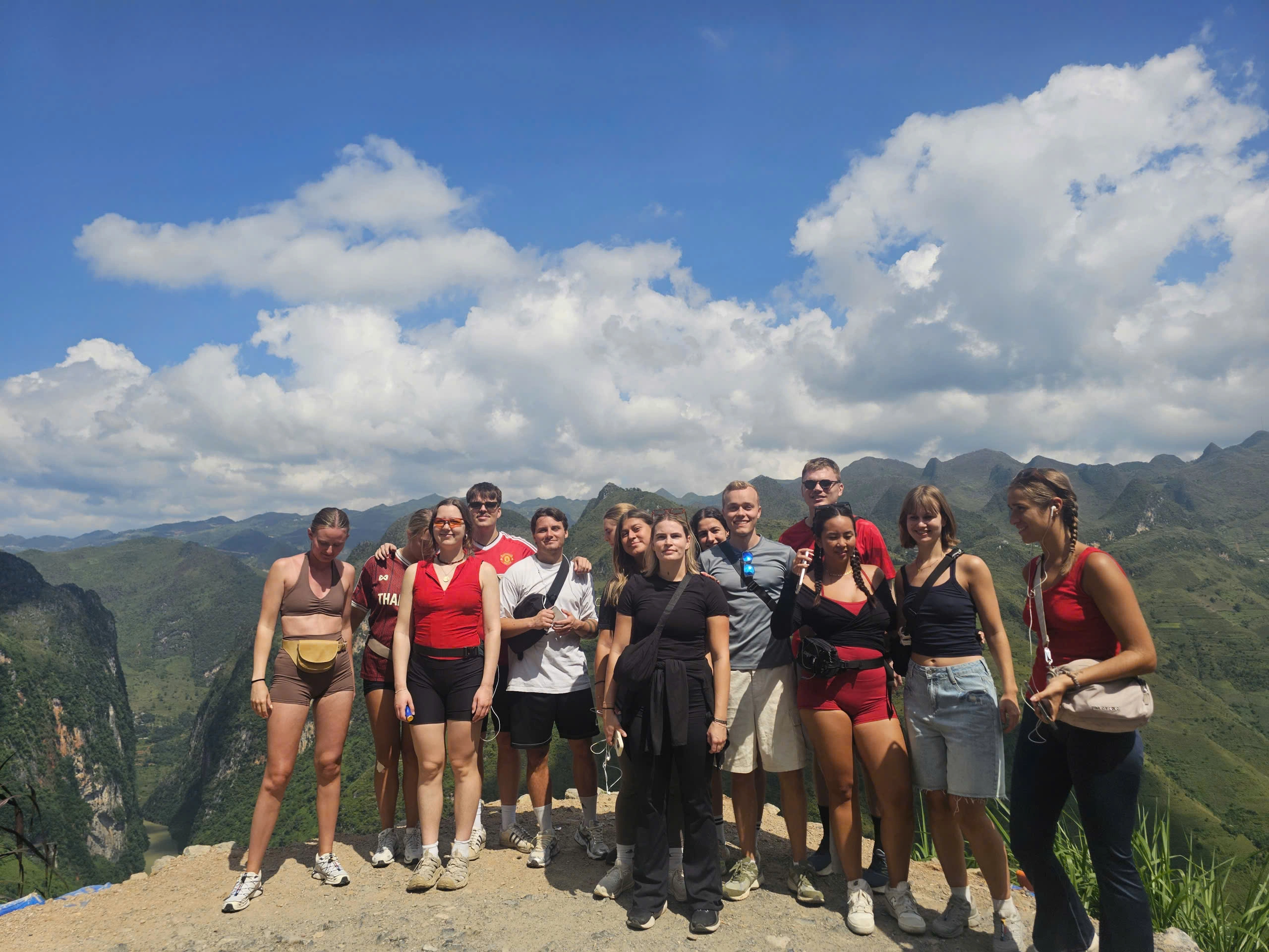
When participating in the Ha Giang Loop, stopping at the highlights is indispensable in the journey. Here is a summary of some prominent Ha Giang Loop stops that you should keep in mind:
Quan Ba Heaven Gate & Twin Mountains
The Quan Ba Heaven Gate is located at an altitude of 1,500m above sea level, where there is not only a spectacular natural scene but also a place where you can see the whole view of Quan Ba from above. Besides, Quan Ba heaven gate also stands out with the image of twin mountains, one of the typical symbols of this area.
Twin Mountains are shaped like two mountains standing next to each other, surrounded by lush valleys, rice fields, forming a beautiful scenery. The scenery here is like a rustic natural picture, but no less mysterious. This is one of the first check-in points on the Ha Giang Loop map, ideal for taking photos and enjoying the fresh air.
Yen Minh pine forest
Yen Minh pine forest is one of the romantic stops on the Ha Giang Loop map. Known for the soaring pine trees, green foliage, and fresh, peaceful air, this pine forest is an ideal place to stop and relax. Here, you can stop and walk in the pine forest to enjoy the fresh air, or find a quiet corner to relax and enjoy the landscape.
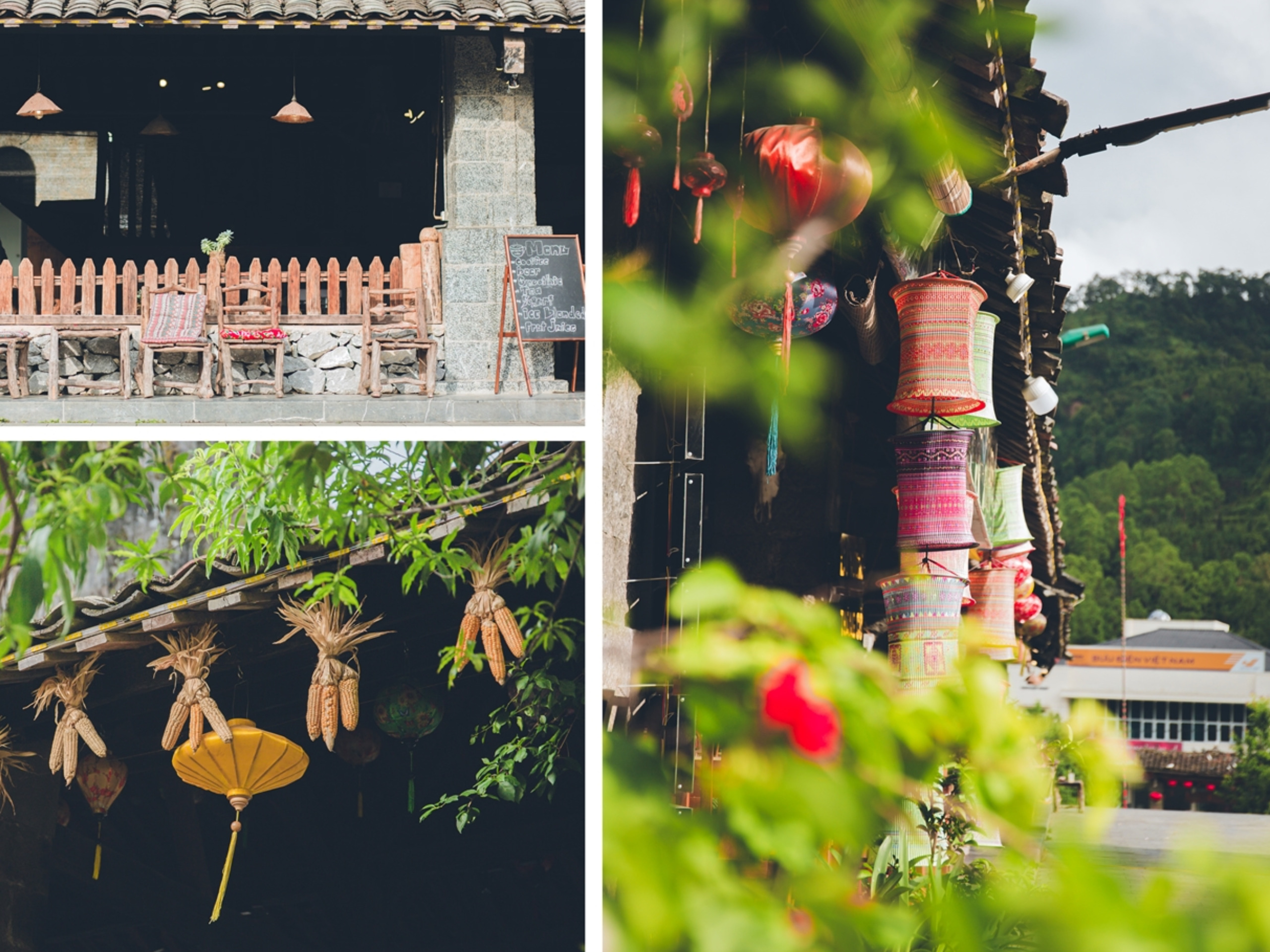
Dong Van Old Quarter
Dong Van Old Quarter is a destination not to be missed on the Ha Giang Loop map. Old quarter life is over 100 years old, standing out with yin-yang tile roof houses, mossy brown walls with architectural impressions of H’Mong people. This is where you can explore the unique culture of ethnic minorities in Ha Giang. In addition, you can also find many unique handicraft products and enjoy the traditional dishes here.
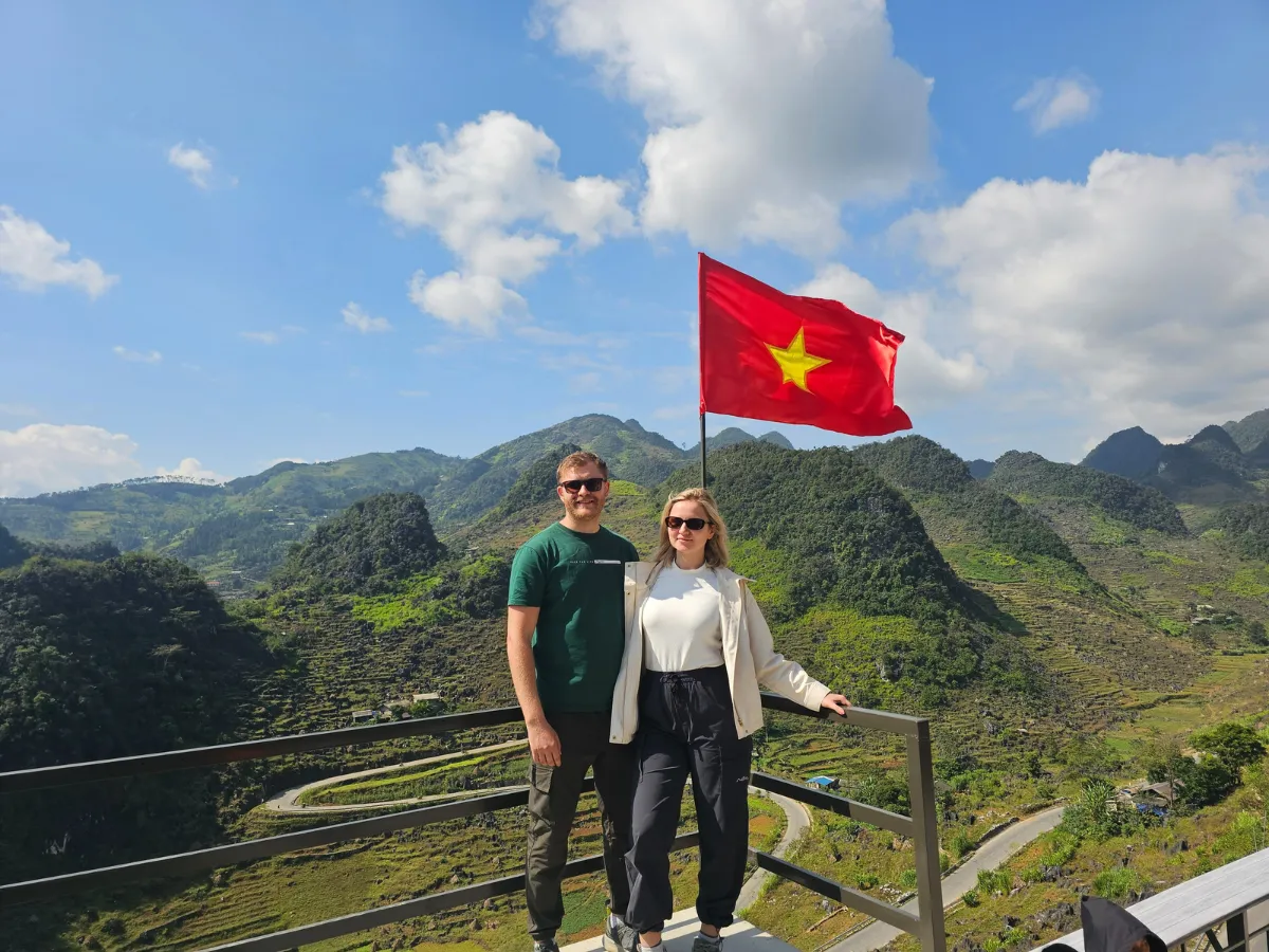
Lung Cu Flag Tower
Lung Cu Flag Tower is a symbolic landmark marking the northernmost point of Vietnam, located atop Dragon Mountain in Ha Giang. Standing 33 meters tall, the tower flies a large Vietnamese flag, representing national pride and sovereignty. Visitors must climb nearly 400 steps to reach the top, where they are rewarded with breathtaking panoramic views of terraced fields, villages, and the border with China. The tower holds historical and cultural significance, honoring the resilience of the local ethnic communities. A visit to Lung Cu Flag Tower is a meaningful experience, celebrating both natural beauty and national identity.
Ma Pi Leng Pass
Ma Pi Leng Pass is one of the “Four Great Passes” of Vietnam due to its dramatic landscape and thrilling roads. Located between Dong Van and Meo Vac, it stretches for about 20 km along towering limestone cliffs, overlooking the deep turquoise Nho Que River. The pass is a masterpiece of nature and human engineering, offering a challenging yet rewarding journey for travelers. With its winding roads and stunning scenery, Ma Pi Leng Pass is a must-visit for nature lovers and thrill-seekers exploring Ha Giang. This is a destination you must visit on the Ha Giang Loop map.
Du Gia waterfall
Nestled within the lush forests of Du Gia, this waterfall is a hidden paradise for nature lovers. The cascading water tumbles down rocky ledges into a cool, refreshing pool, making it a perfect spot for swimming and relaxation. Surrounded by dense greenery and untouched wilderness, Du Gia Waterfall is a must-visit destination on the Ha Giang Loop map.
Lung Khuy cave
Lung Khuy Cave is one of the most stunning caves in Ha Giang, located near Quan Ba Heaven Gate. This hidden gem stretches over 300 meters, featuring spectacular stalactites and stalagmites formed over thousands of years. Inside, visitors are mesmerized by the shimmering rock formations, resembling natural sculptures in various shapes. The cave remains relatively untouched, offering a mystical and adventurous experience. A short trek to the entrance rewards travelers with breathtaking mountain views, making Lung Khuy Cave a must-visit destination on the Ha Giang Loop map.
4. Tips for navigation when going to the Ha Giang Loop

To move safely and effectively, you need to understand the terrain of Ha Giang Loop
For a convenient and safe trip, it is very important to know the navigation tips. Here are some useful tips to help you in your journey.
Understand the terrain of the road on the Ha Giang Loop
Ha Giang is famous for its rugged terrain, mainly high hills and majestic mountains. Identifying special roads will help you prepare better. Find out the map:
- Use an offline map or application to track your movement process on each road.
- Be careful through the bends: Pay special attention when passing through the harsh bends and high slopes.
Common challenges when navigating on Ha Giang Loop Map
In the journey to explore Ha Giang Loop, you may encounter many unexpected challenges.
- The weather changes rapidly: Ha Giang often has murky or rainy times, especially in the rainy season. Make sure you always monitor the weather and have the preparation of necessary costumes and utensils.
- Go lost: Lost is one of the risks when going through new roads. The Ha Giang Loop map will help you locate your location and return in the right direction if you get lost.
- The terrain unexpectedly: Ha Giang is famous for many unexpected terrains. This can make it difficult but also part of the interesting trip. Prepare to face bumpy roads and drive slowly to ensure safety.
- Animal on the road: Sometimes you will meet animals, especially cattle, wandering on the road. Be careful and pay attention to help you avoid unnecessary accidents. Always be alert and slow down when you encounter these situations.
Tips for driving safely when going to Ha Giang Loop
Safe driving is a prerequisite for you to enjoy the journey in the best way. Remember the following issues:
- Check the weather: Before the trip, see the weather forecast to prepare for the most appropriate conditions, avoid fog and unexpected rain while driving.
- Check the motorbike before starting the journey: Check the motorbike before moving, especially the brakes and tires, ensuring the motorbike is still working well.
- Keep a moderate speed: Make sure you keep the speed safely, especially on dangerous roads.
- Always wear protective clothes: When you discover Ha Giang Loop by motorbike, always wear a helmet and wear your elbow and knee protection to protect yourself from unexpected accidents.
- Keeping a safe distance from other vehicles: whether you are on the pass or in the pass, you also need to keep the distance from the vehicle ahead to promptly handle if there is any unexpected situation.
- Stop the motorbike in the right place: The pass is very dangerous, there are many cars running over at a large speed, so look for the safest stop, a narrow bend, and the steepest to ensure the safest for the journey.
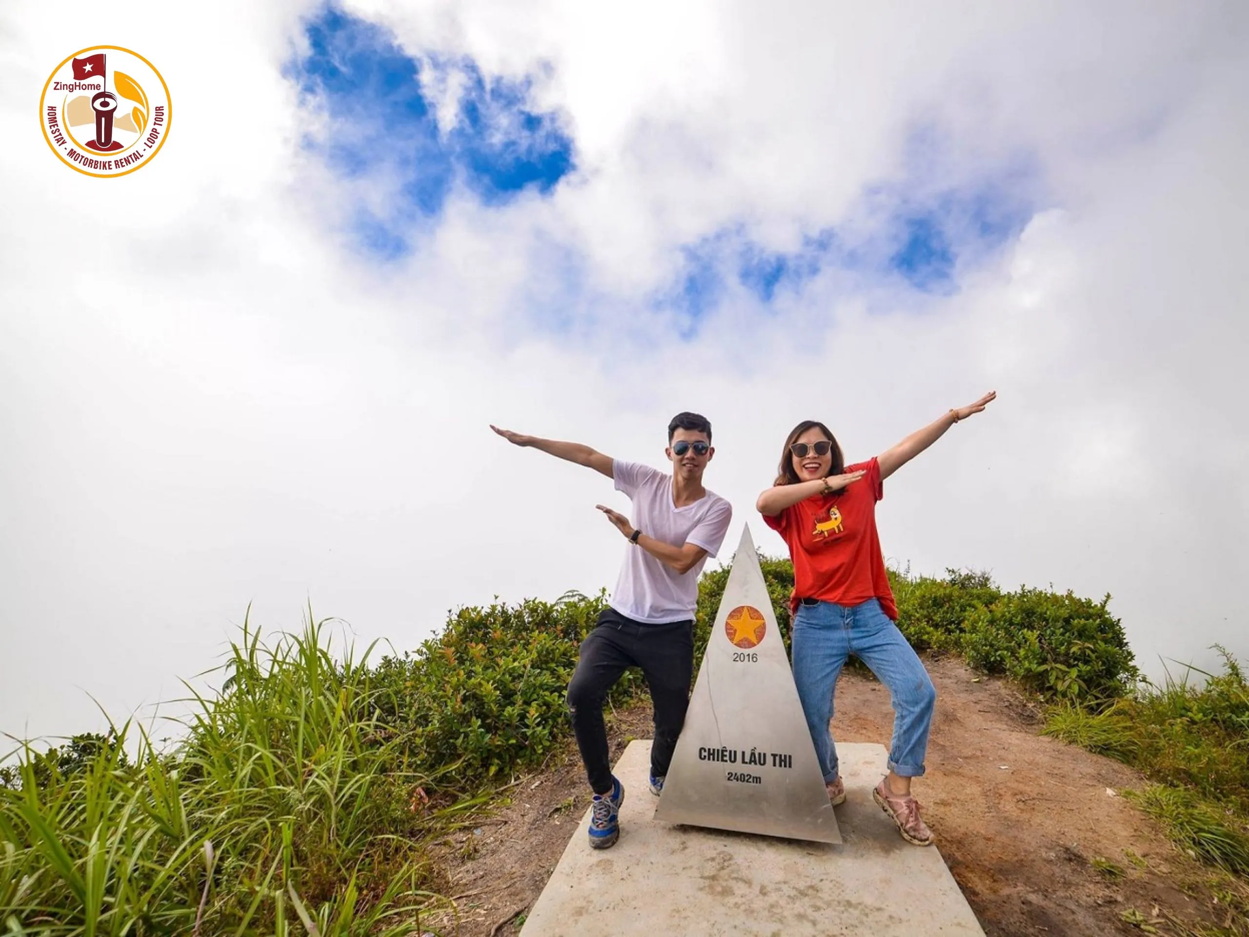
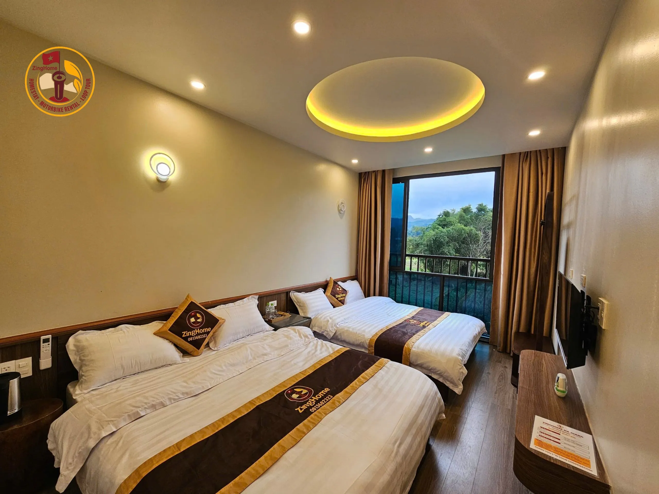
5. ZingHome Ha Giang – A Reputable Tour Company
If you are looking for a reputable motorbike rental company, comfortable accommodation, and high-quality tours, ZingHome Ha Giang is a reliable choice.
ZingHome stands out with professional service and focuses on customer experience. The company not only brings high-quality tours but also takes care of every detail, from choosing a place to accommodation and eating services.
Exploring the Ha Giang Loop is an extremely interesting and memorable experience. With the Ha Giang Loop Map, you will not only find the exact roadmap but also expand your discovery about the cultural knowledge, history, and natural beauty here. From the rugged passes to the villages hidden in the mountains, every moment is an invaluable memory. For more information and travel tips in Ha Giang, please visit the ZingHome Ha Giang website.